The river that transformed Bristol
In 1240 the River Frome was diverted through Canon’s Marsh to join the Avon close to the present Bathurst Basin, bringing a harbour closer to the medieval town centre.
South of the Avon lay the parishes of Redcliffe and Temple. Although the river could be forded at low tide, it formed a significant barrier between these communities and Bristol.
Incorporating Redcliffe and Temple into the town effectively doubled Bristol’s size.
Victoria Street itself arrived much later, developing during the 19th century. Its surviving warehouses and distinctive Bristol Byzantine buildings reflect a period when commerce and industry were transforming this part of the city.
An inn and the campaign against slavery
Hidden in St Thomas Lane is the Seven Stars, an inn dating from around 1590.
In 1787, abolitionist Thomas Clarkson stayed here while investigating the conditions endured aboard ships involved in the transatlantic slave trade.
Clarkson befriended the landlord and gathered information about Bristol slave traders and the treatment of sailors aboard their vessels.
Among the testimony he uncovered was the story of the slave ship Brothers, on which 32 crew members had died during a recent voyage.
Evidence collected during investigations such as these contributed to the growing campaign against Britain’s involvement in the slave trade.
Bristol’s leaning tower
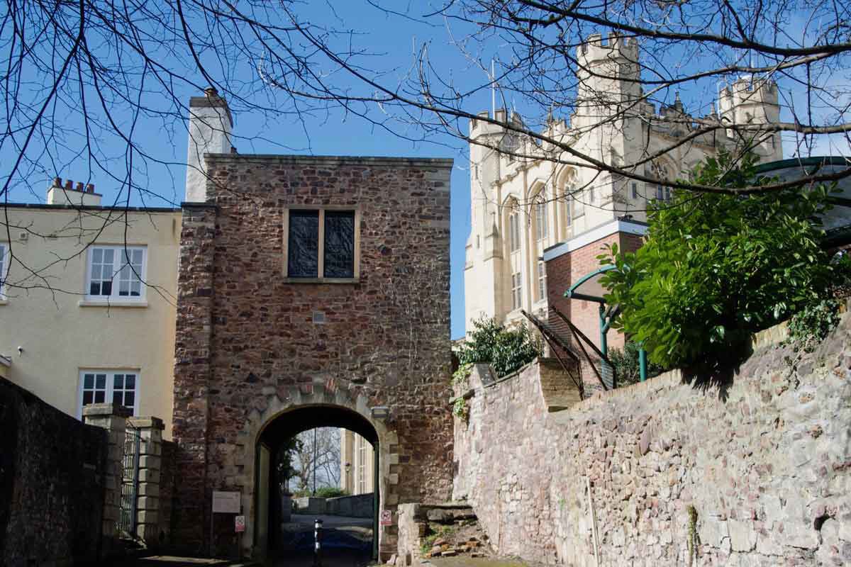
Nearby, the ruined Temple Church rises above the surrounding streets.
The site has its origins in the 12th century, when Robert, Earl of Gloucester granted land here to the Knights Templar.
During the medieval period Temple became closely associated with Bristol’s cloth industry, and the wealth of local weavers contributed to the development of one of the city’s largest churches.
Its tower, completed in 1460, has become famous for its pronounced lean.
The church was devastated by incendiary bombing during the Bristol Blitz in November 1940. Its surviving tower and walls remain one of the most striking reminders of the destruction inflicted on the city during the Second World War.
Chatterton and St Mary Redcliffe
A short distance away is the birthplace of Thomas Chatterton, born in Bristol in 1752.
Raised in poverty, Chatterton began writing at an extraordinarily young age and created works attributed to an imaginary 15th-century poet named Thomas Rowley.
His story is intimately connected with nearby St Mary Redcliffe, where he used old parchments for his Rowley poems.
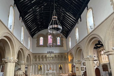
The church itself is one of Bristol’s great medieval buildings.
Its history is closely associated with the merchants of the medieval port, particularly the wealthy Canynges family, whose patronage helped create much of the building seen today.
The church also has connections with John Cabot and Admiral Sir William Penn, father of the founder of Pennsylvania.
Beneath the red cliffs
Redcliffe takes its name from the red sandstone cliffs that rise above the harbour.
Hidden within them is a network of caves whose history has become intertwined with centuries of Bristol legend and industry.
Nearby is a former Quaker burial ground established after Charles II granted the site to the Society of Friends in 1665.
At the rear lies St John’s Hermitage, a small cave occupied by a succession of hermits for centuries.
Further along, Redcliffe Parade overlooks Phoenix Wharf and entrances to the Redcliffe Caves. The caves have served numerous purposes over time and even contain views of the foundations supporting the Georgian houses above.
A harbour shaped by trade
The route eventually descends towards Bathurst Basin and Bristol’s historic harbour.
Guinea Street preserves evidence of the wealth generated by Bristol’s overseas trade — and the human cost behind some of it.
Merchant Captain Edmund Saunders lived here during the 18th century. Your original research records him as one of Bristol’s busiest slave-ship captains, personally responsible for transporting thousands of enslaved people across the Atlantic.
Nearby, the Ostrich Inn was frequented by sailors, merchants and dock workers when Bristol was Britain’s leading port after London.
The surviving buildings, wharves and waterways make this an important place for understanding both the prosperity created by Bristol’s maritime trade and the darker history upon which some of that prosperity depended.
From working harbour to Harbourside
Bathurst Basin occupies part of a former mill pond once supplied by the River Malago.
Warehouses, cranes, docks and industry once dominated the surrounding waterfront. Many of those buildings have since found new uses, but the shape of the historic harbour remains.
Continue towards Prince’s Wharf and the industrial landscape becomes part of Bristol’s modern visitor experience.
M Shed now tells the story of the city and its people from a former dockside setting, surrounded by surviving cranes, historic vessels and reminders of Bristol’s working harbour.
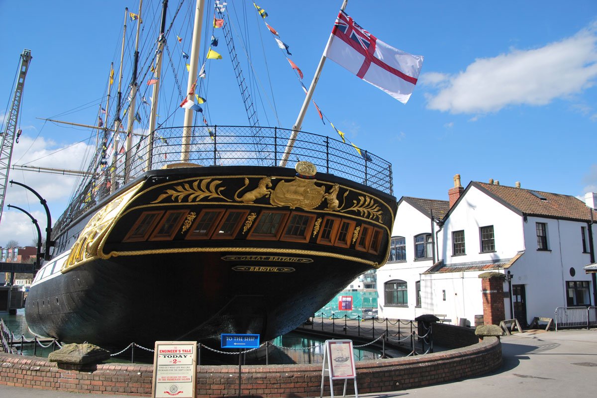
Beyond it lies another extraordinary chapter in the city’s maritime story: the dock from which Brunel’s SS Great Britain was launched by Prince Albert in 1843.
What you’ll discover
Victoria Street connects medieval Redcliffe with the commercial and maritime history of Bristol’s harbour.
- Victoria Street — Victorian commerce, warehouses and Bristol Byzantine architecture.
- Seven Stars — an historic inn with an important connection to the abolitionist movement.
- Temple Church — medieval Bristol and its remarkable leaning tower.
- St Mary Redcliffe — one of the city’s great medieval churches.
- Redcliffe — poets, merchants, hermits and a network of caves beneath the streets.
- Bathurst Basin — a surviving part of Bristol’s historic dock landscape.
- M Shed — where the city’s industrial and maritime history meets the modern Harbourside.
The complete City Walks Bristol guide follows the route through Redcliffe and towards the harbour, revealing many more of the people, buildings and stories that shaped this historic part of the city.